Capture the Physical Asset
Use a handheld LiDAR scanner, photogrammetry, or industrial 3D scanner to capture the exact geometry of machinery, parts, or structural sites.
Give Your Remote Teams the Context They Need with Interactive 3D Documentation
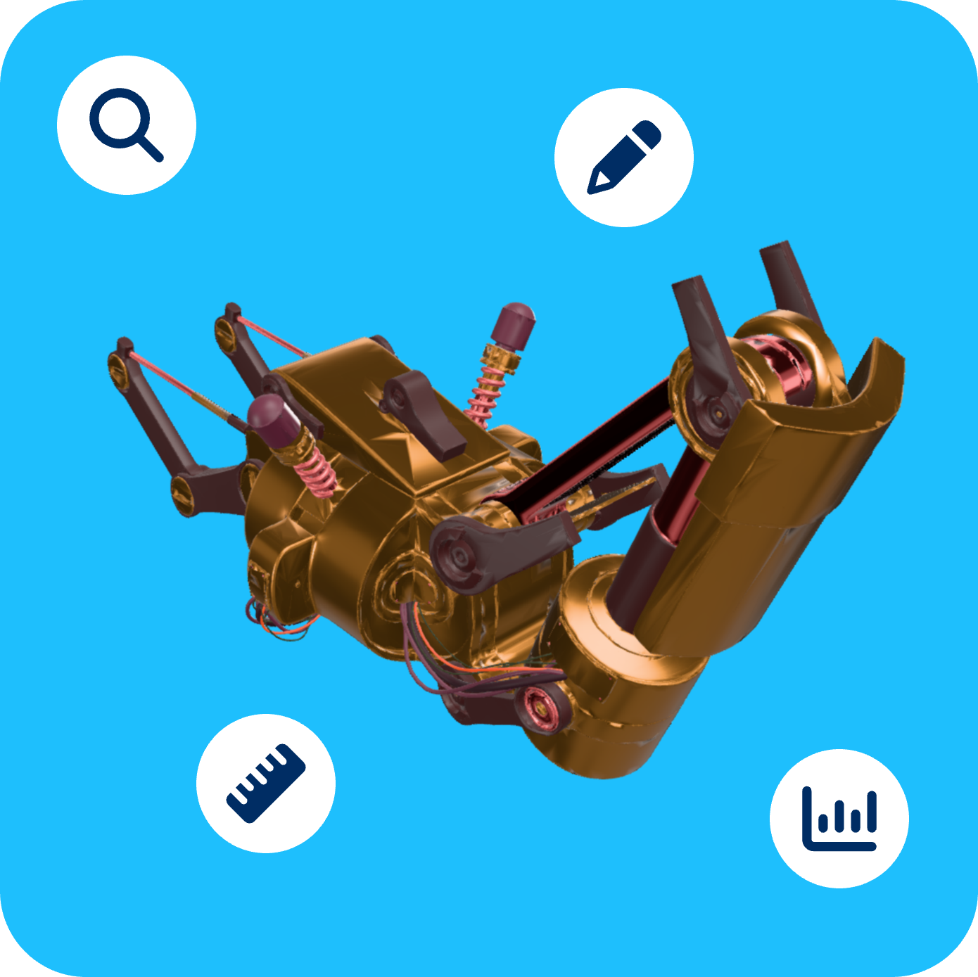
When engineering teams are split across locations, traditional 2D blueprints, static PDFs, and grainy photos aren't enough. Missing a single spatial detail can stall a project for weeks.
By converting physical environments and hardware into precise 3D scans, you can automatically generate interactive documentation. This gives your remote engineers, technicians, and stakeholders a "digital twin" they can inspect, measure, and collaborate on from anywhere in the world.
Use a handheld LiDAR scanner, photogrammetry, or industrial 3D scanner to capture the exact geometry of machinery, parts, or structural sites.
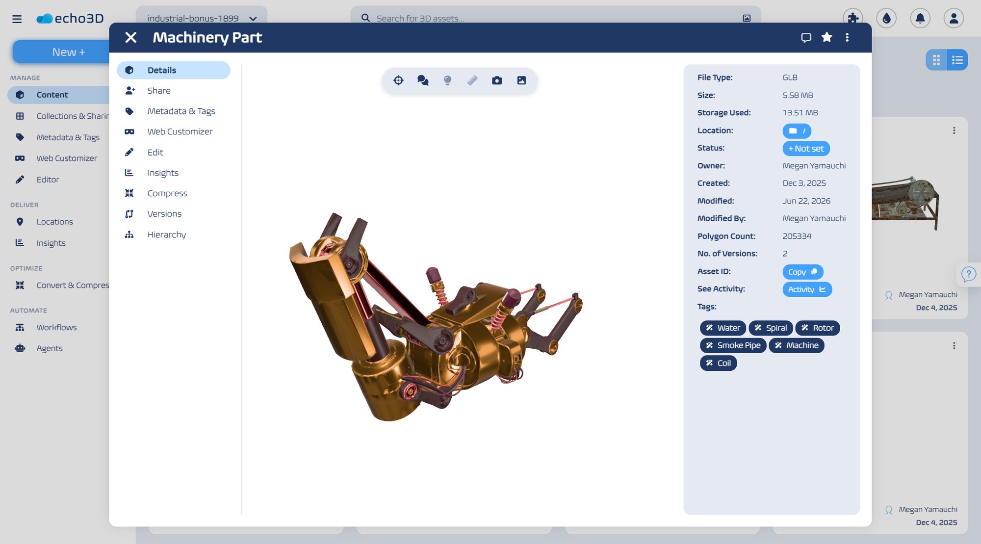
Convert raw scan data into optimized 3D models. Annotate specific components, attach engineering notes, and log spatial measurements directly onto the asset.
Deploy the 3D assets to a centralized repository where remote team members can access, view, and manipulate them securely from any device.
Remote engineers use the interactive documentation to guide maintenance, run simulations, design modifications, or perform quality checks with absolute spatial confidence.
Capturing 3D data is only half the battle. Massive 3D scans create major distribution bottlenecks—files are too heavy for standard cloud storage, difficult to view without specialized software, and tough to organize across large enterprise teams.
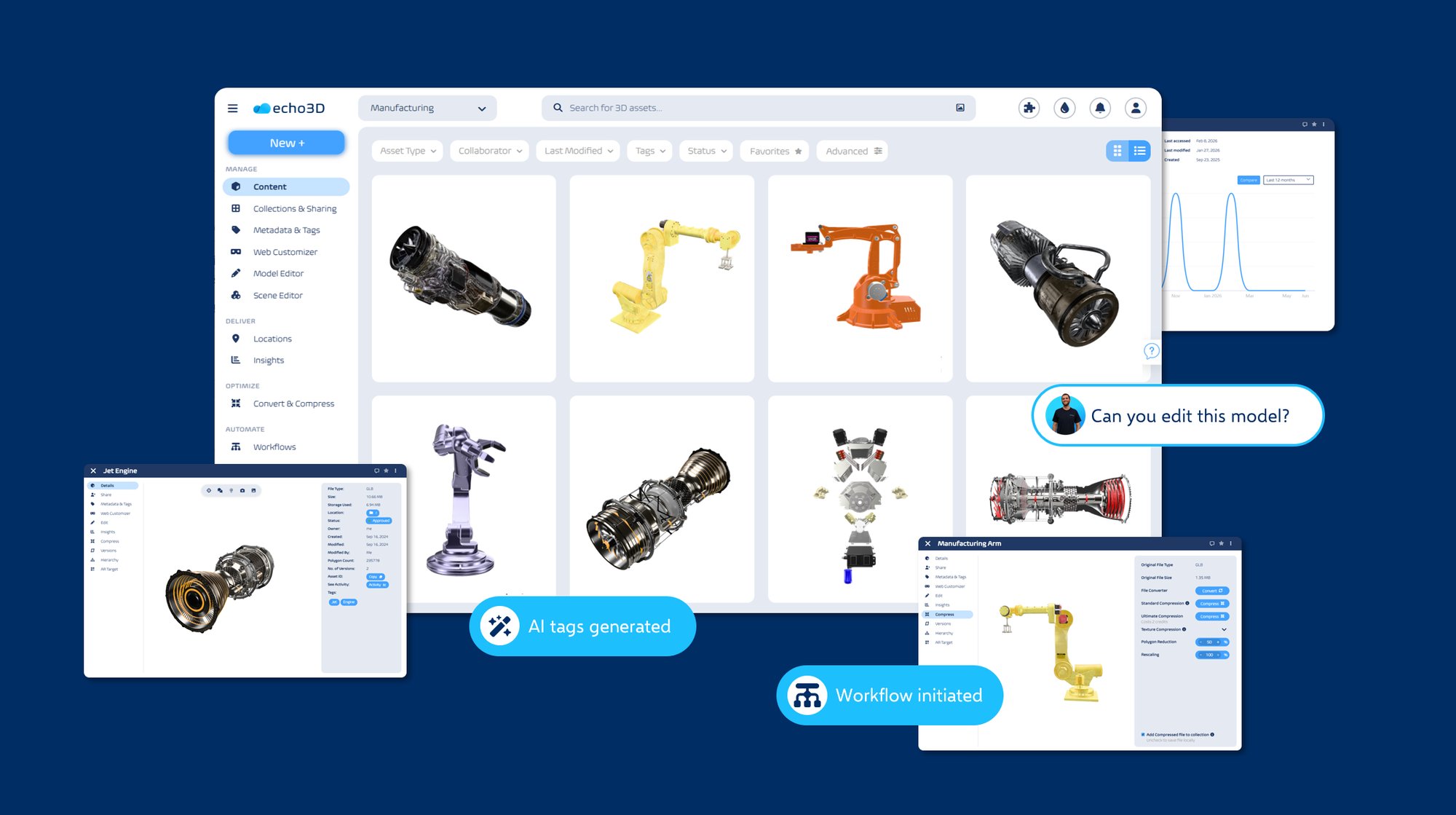
echo3D solves this by serving as a cloud-based 3D Digital Asset Management (3D DAM) platform built specifically to help organizations view, optimize, and share massive 3D models internally and externally.
Stop relying on static screenshots and outdated manuals. Give your global engineering teams a single source of truth for all spatial data.